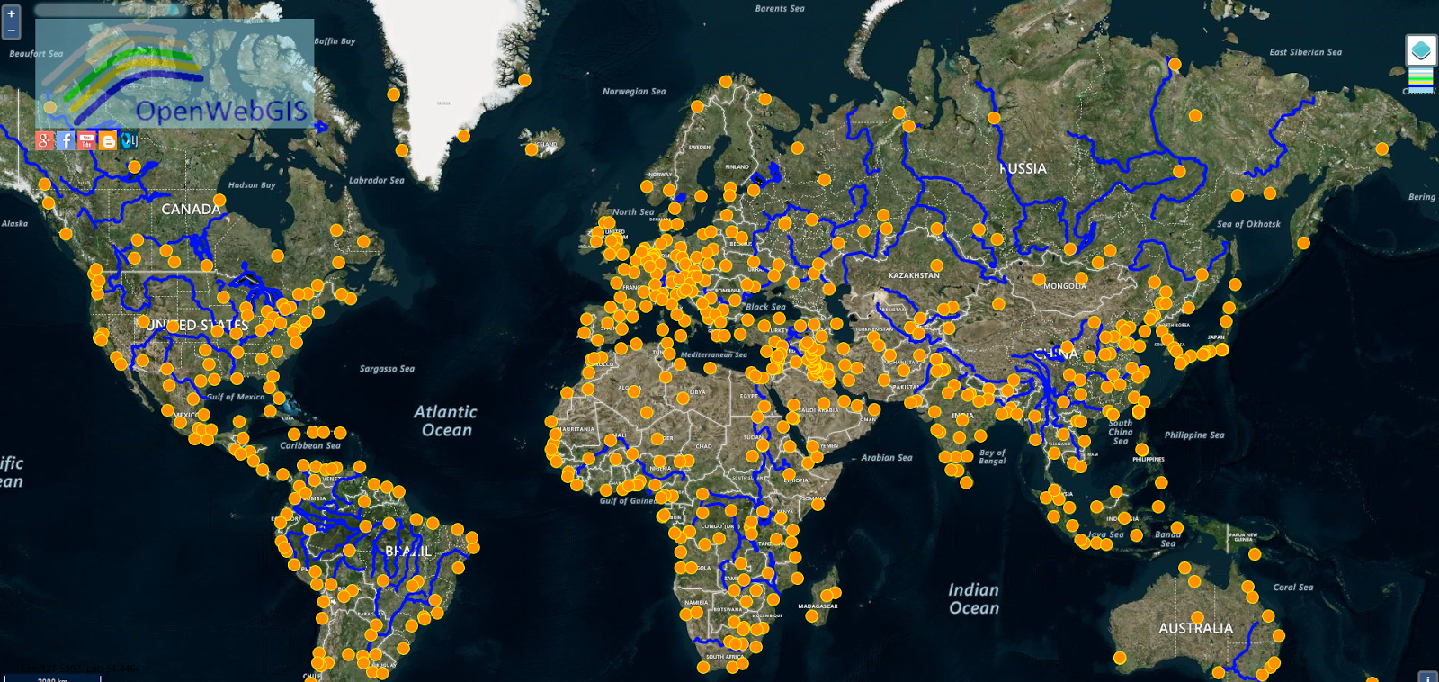
OpenWebGIS version 2 is an open source web-browser based
Geographic information system (GIS). OpenWebGIS 2 continues to develop. As has been
announced now the second version of OpenWebGIS is created based on
OpenLayers 3 (OL3). Version 1 of OpenWebGIS (
old interface system,
new interface system) uses
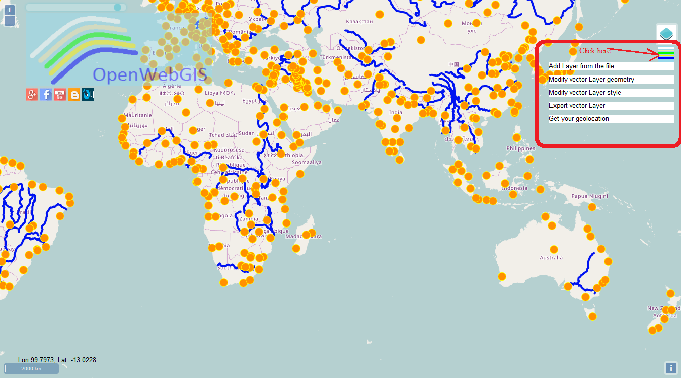
OpenLayer 2 (OL2). Thus the code base of OL2 and OL3 is totally different (new event handlers, etc). so migration pretty much means full rewriting of source code, so the work moves slowly. The main purpose of OpenWebGIS 2 is the transformation of this GIS on the modern software basis for modern browsers and mobile devices with touch screens, to increase speed, fix issues of the previous version and create new opportunities for users. At this stage OpenWebGIS 2 is an editor for adding, styling and exporting of vector layers in various formats. The main menu in the expanded view is shown in Figure 1.
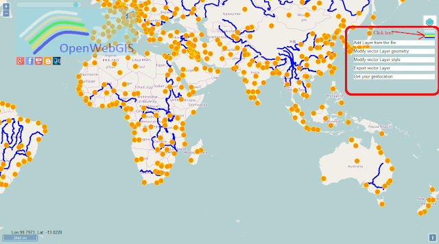 |
| Figure 1 - The main menu of OpenWebGIS 2 |
There is a geolocation feature through which you can get your positions in the form of a set of points, there are problems with the tracks drawing that will be solved soon. Also there may be some possible problems with getting geolocations in the latest versions of browsers (
Geolocation API Removed from Unsecured Origins in Chrome 50).
The source code of OpenWebGIS 2 you can get on
GitHub. Source code of version 1 OpenWebGIS you can get on
GitHub and also version for Android (
source code for Android and
APK file for Android OS).
You can find detailed information about OpenWebGIS features and applications on
our blog and at the
opensource.com.
The OpenWebGIS blog and a
full list of articles about OpenWebGIS provide a lot of information about possibilities and specific features of OpenWebGIS.