Search This Blog

Monday 29 February 2016

Developing the new interface design of OpenWebGIS


OpenWebGIS team has started developing the new interface design. We offer you to consider a new version of the interface. It is activated when you click on the «New Interface» button (see Figure 1).
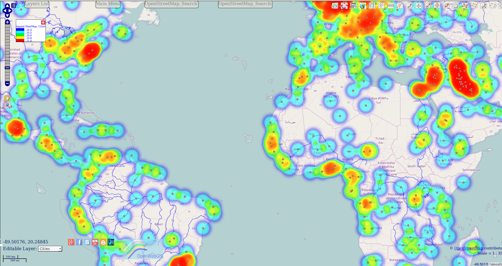
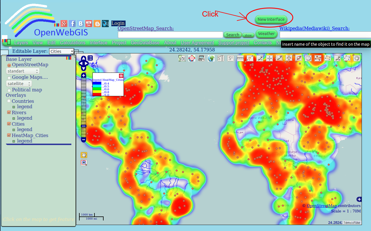
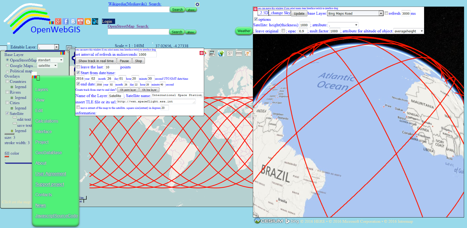
Figure 1- Click on the «New Interface» button to activate the new interface
Now the main menu, layers list, the search line on OpenStreetMap, Wikipedia can be hidden and open only when the user clicks. The map covers the entire screen (see Figure 2, 3).
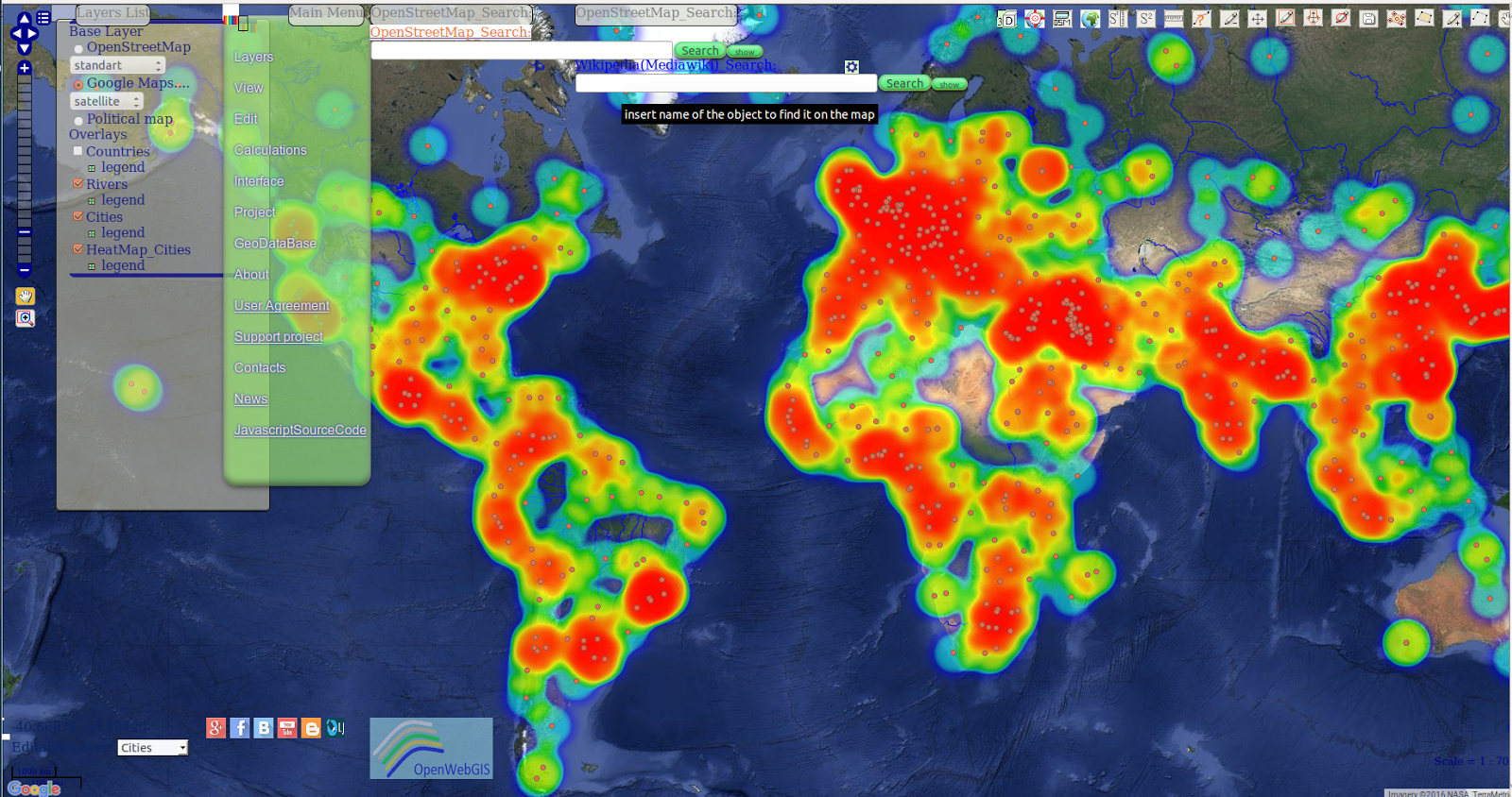
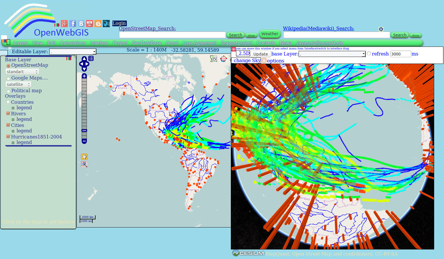
Figure 2 - New interface of OpenWebGIS
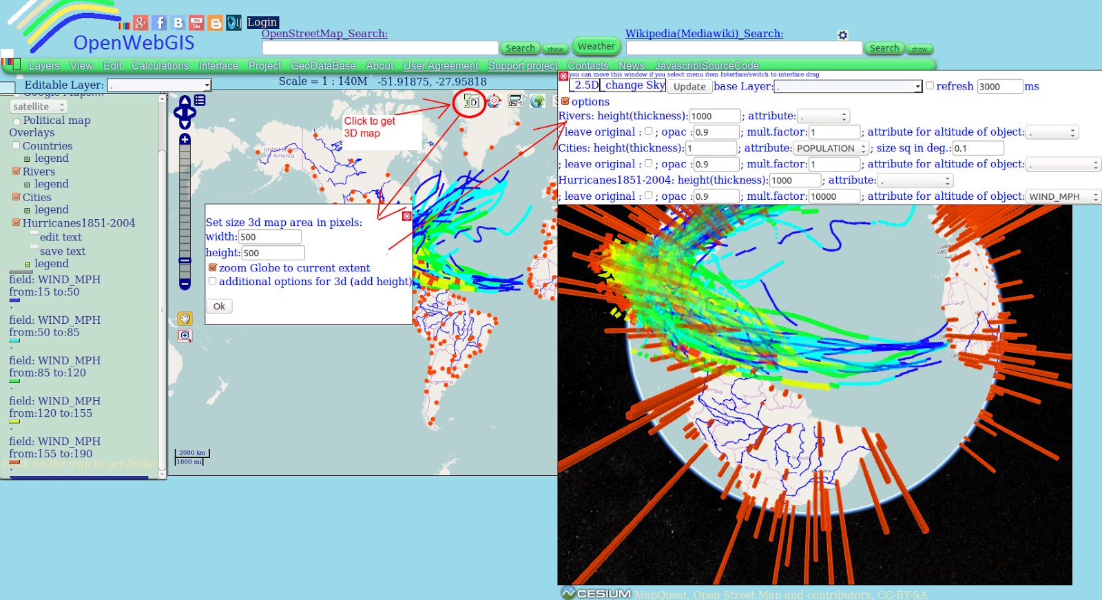
Figure 3 - New interface of OpenWebGIS
Being in the new interface, you can return to the old one if you select the menu item «Interface->Set default interface» (see Figure 4).
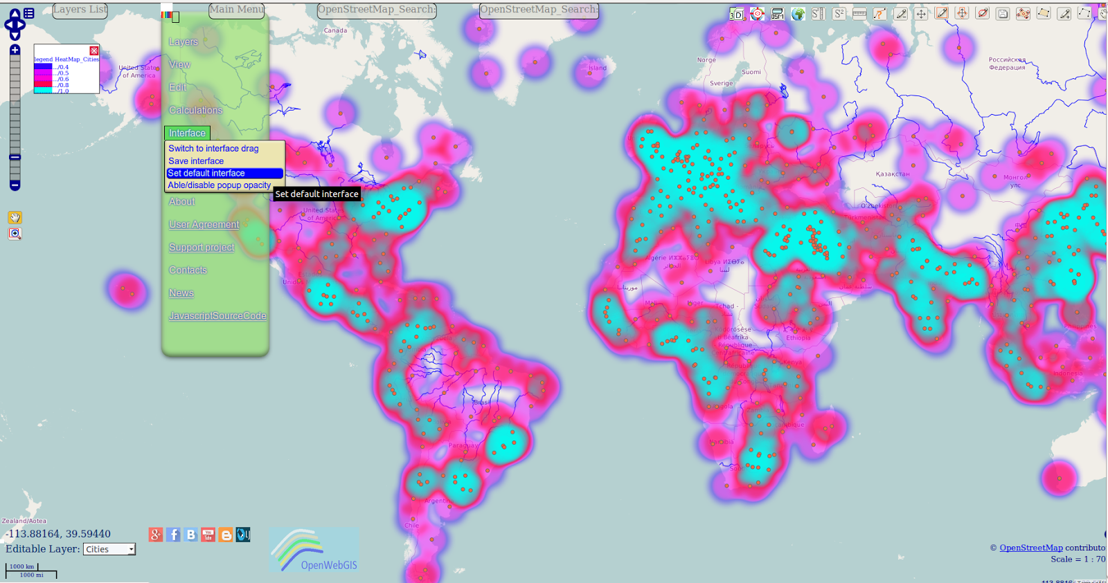
Figure 4 - Set default interface

But you need to bear in mind that even without this option («New Interface») you have already had the opportunity to customize Interface for a long time - further information is given in this video:
 

What do you think about the new interface of OpenWebGIS?
  1. You like the new version of the interface, and it should be left;
  2. You like the new interface, but still there is need to continue developing it;
  3. You do not like the new interface and you need to keep the old one;
  4. You don't like either the new or the old interfaces, there is need to do something else;
  5. Other.

Please support the crowdfunding campaign of OpenWebGIS and repost this information among your friends.
Read more information about crowdfunding campaign and our plans on Digital-geography and Indiegogo.
The OpenWebGIS blog and full list of articles about OpenWebGIS provide a lot of information about possibilities of OpenWebGIS.

Sunday 28 February 2016

Support OpenWebGIS crowdfunding campaign


OpenWebGIS is an open source online/offline geographic information system for work in web browser or mobile app. Since its foundation (2014), a great number of users have benefited from using this system functions. The site and the blog have been visited tens of thousands of times. Over this time the system was worth mentioning in respectable professional information resources.

Now OpenWebGIS needs funds for a qualitative leap in its development!
This system has been and will always be free and open, but the time has come when your support is needed in the form of financial assistance, in order that the system would continue to exist, evolve and help you in your work and life with new useful features. By means of funding you give thanks for the work on the creation of the existing functions and help in the creation of new ones. Share our plans and be part of the process! Be involved with other users who believe in us and share our vision!
Please support the crowdfunding campaign of OpenWebGIS and repost this information among your friends.
Read more information about crowdfunding campaign and our plans on Digital-geography.comGeoawesomeness.com and Indiegogo.
Yours sincerely,
OpenWebGIS team.

Tuesday 16 February 2016

3D View enhancements in OpenWebGIS


In OpenWebGIS users can create not only a flat map (2D), but also 3D maps. To do this, OpenWebGIS uses Cesium JavaScript library. The article "3D maps, new version of Cesium JavaScript library and OpenWebGIS" tells about this in detail. On the first of February 2016 the new Cesium Version 1.18 was released:

"Here are the highlights of the new release:
  • Reduced the amount of CPU memory used by terrain by ~25% in Chrome.
  • Added a Sandcastle example to “star burst” overlapping billboards and labels.
  • Added VRButton which is a simple, single-button widget that toggles VR mode. Cardboard for mobile is supported. More VR devices will be supported when the WebVR API is more stable.
For more details and the full list of changes, see the changelog.”

To improve the efficiency of work with maps for users of OpenWebGIS the decision was made to migrate to this new version of Cesium. A lot of work has been done to correct the source code for the new version of Cesium and besides several problems were fixed that the users previously encountered while visualizing 3D maps.

In order to create the 3D map you must click on the button : 
in the upper right corner of the map. This button has the title "Add 3d Map. Globe ". There will be a pop-up window in which you can set the desired size of the 3D map area in pixels (see Figure1).
Figure 1 - 2D and 3D maps in OpenWebGIS

The source code of OpenWebGIS local (offline) can be downloaded from GitHub here
The source code of OpenWebGIS for OS Android can be downloaded from GitHub here.
Ready to use Android apk file (new version 1.016) for your mobile devices is available for downloading at itch.io , at Google Drive and also from GitHub from this link.
The OpenWebGIS blog and full list of articles about OpenWebGIS provide a lot of information about possibilities of OpenWebGIS.
Please test and report bugs or suggestions for improvement.